
Map Akron ZIP Coverage
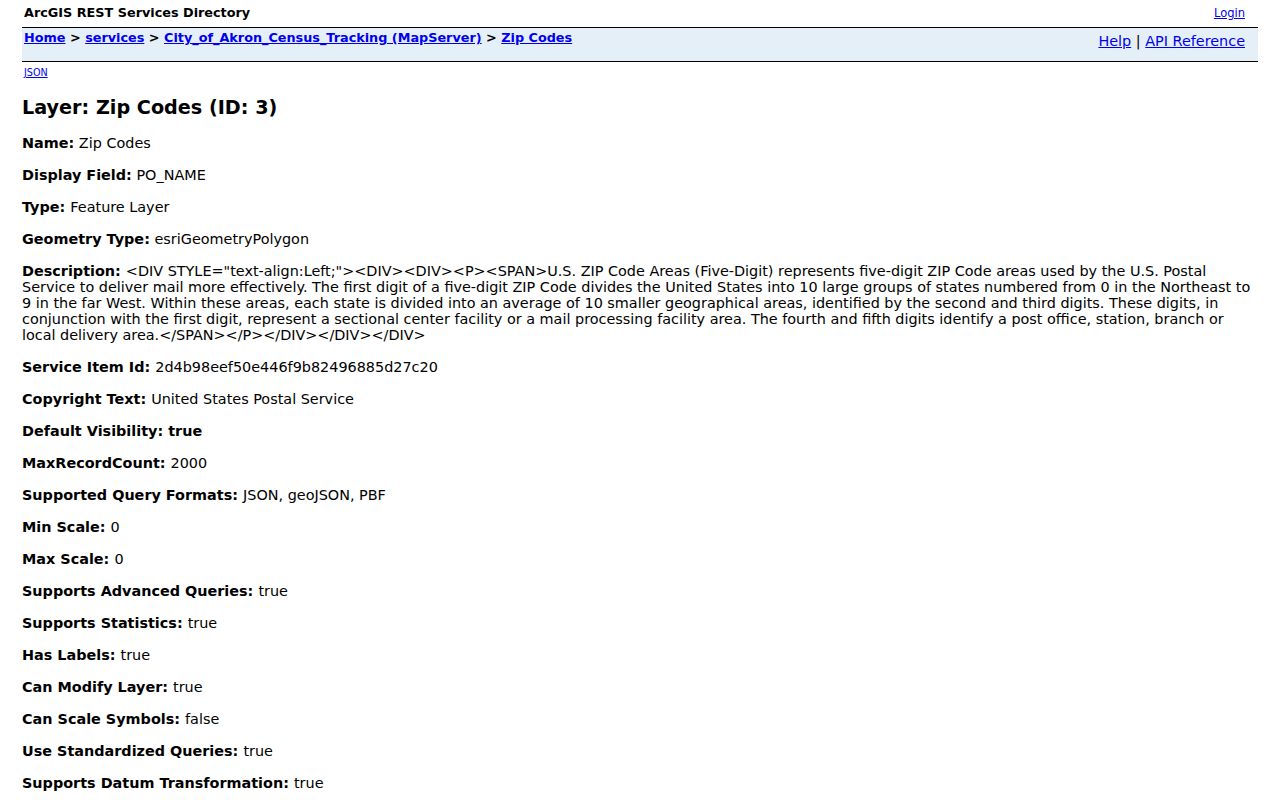
The City of Akron’s USPS-attributed ZIP feature layer is a map-coverage source. It has a ZIP_CODE field and lists 23 current values in the City census-tracking map. It does not publish neighborhood assignments, post-office stations, or a decision about a specific mailing address. The table keeps those limits visible: “City GIS polygon” means the value appears in that layer, while USPS verification is still required for a delivery or postal-city answer.
| ZIP | Areas Covered | Post Office | Notes |
|---|---|---|---|
| 44203 | Surrounding or overlap context in the City GIS layer | Not specified by the map layer | Confirm a delivery address through USPS. |
| 44221 | Surrounding or overlap context in the City GIS layer | Not specified by the map layer | Confirm a delivery address through USPS. |
| 44223 | Surrounding or overlap context in the City GIS layer | Not specified by the map layer | Confirm a delivery address through USPS. |
| 44260 | Surrounding or overlap context in the City GIS layer | Not specified by the map layer | Confirm a delivery address through USPS. |
| 44278 | Surrounding or overlap context in the City GIS layer | Not specified by the map layer | Confirm a delivery address through USPS. |
| 44301 | City GIS polygon | Not specified by the map layer | Detailed neighborhood and station assignment was not located. |
| 44302 | City GIS polygon | Not specified by the map layer | Detailed neighborhood and station assignment was not located. |
| 44303 | City GIS polygon | Not specified by the map layer | Detailed neighborhood and station assignment was not located. |
| 44304 | City GIS polygon | Not specified by the map layer | Detailed neighborhood and station assignment was not located. |
| 44305 | City GIS polygon | Not specified by the map layer | Detailed neighborhood and station assignment was not located. |
| 44306 | City GIS polygon | Not specified by the map layer | Detailed neighborhood and station assignment was not located. |
| 44307 | City GIS polygon | Not specified by the map layer | Detailed neighborhood and station assignment was not located. |
| 44308 | City GIS polygon | Not specified by the map layer | Detailed neighborhood and station assignment was not located. |
| 44310 | City GIS polygon | Not specified by the map layer | Detailed neighborhood and station assignment was not located. |
| 44311 | City GIS polygon | Not specified by the map layer | Detailed neighborhood and station assignment was not located. |
| 44312 | City GIS polygon | Not specified by the map layer | Detailed neighborhood and station assignment was not located. |
| 44313 | City GIS polygon | Not specified by the map layer | Detailed neighborhood and station assignment was not located. |
| 44314 | City GIS polygon | Not specified by the map layer | Detailed neighborhood and station assignment was not located. |
| 44319 | City GIS polygon | Not specified by the map layer | Detailed neighborhood and station assignment was not located. |
| 44320 | City GIS polygon | Not specified by the map layer | Detailed neighborhood and station assignment was not located. |
| 44321 | City GIS polygon | Not specified by the map layer | Detailed neighborhood and station assignment was not located. |
| 44325 | City GIS polygon | Not specified by the map layer | Detailed neighborhood and station assignment was not located. |
| 44333 | Surrounding or overlap context in the City GIS layer | Not specified by the map layer | Confirm a delivery address through USPS. |
Core 443xx values shown in the City layer are map evidence, not a promise that every address inside a polygon uses that ZIP. The 442xx values and 44333 appear as surrounding or overlap context, so they should never be described as universal Akron city-address ZIPs.
The City of Akron ZIP feature layer is the official map source for the coverage statuses in the table.
Akron ZIP Delivery Geography
A ZIP is a postal delivery device, not an incorporated-place boundary. Census ZIP Tabulation Areas are generalized Census geography, which is another reason not to turn a map polygon into a mailing rule. An Akron address may need a delivery ZIP check even when the City map shows a nearby polygon with a familiar label.
Use the map to understand the geography around an address. Use USPS to determine the delivery result for that address. Use the Summit County property record to identify the parcel’s situs. Use the legal description to carry a property trail when the street number changes. Each key answers a different question.
Note: A ZIP match describes delivery geography, not a person’s presence at the address.
Filter Akron Parcels by ZIP
The Summit County Fiscal Office Property Tax & Appraisal Public Access portal accepts an optional five-character Zip field. It can narrow property records before an address, parcel, or owner search. It does not return a list of residents. Open the selected record and keep the tax year, situs, and any separate mailing field distinct.
| Property-search field | Type | Required | ZIP-oriented use |
|---|---|---|---|
| Parcel | Text | No | Moves from a known parcel to its record. |
| Route | Text | No | Uses the tax-route search. |
| Owner | Text | No | Searches a recorded owner name with a ZIP limit if useful. |
| Address No. | Text | No | Pairs with Street to select a property. |
| Street | Text | No | Narrows the street after a ZIP filter. |
| Zip | Text | No | Five-character property filter, not a resident filter. |
| Filter By | Control | No | Portal filter control; the current accessible source does not expose its specific list. |
| Sort by / order | Dropdowns | No | Sort by Parcel, LUC, Route, Address, Owner, or TaxYr, with ascending or descending order. |
| Results/page | Dropdown | No | The displayed choices are 15, 25, or 50. |
Use enough of an owner name or address to make the search specific, and do not use quotation marks. The portal warns that a non-exact search can return up to 500 results. A narrow ZIP combined with Address No. and Street is more informative than treating a broad ZIP result as a directory.
Verify Akron ZIPs with USPS
The USPS ZIP Lookup is the verification step for delivery geography. Its address route accepts Company as an optional field, requires Street Address, permits an optional Apt/Suite/Other field, requires City and State, and permits an optional ZIP. It also provides City/State and ZIP routes. Enter the exact delivery address rather than relying on a neighborhood label or a map color.
USPS states that its result does not confirm a person or company at the address. That warning matters when a property search, a directory entry, and a postal answer are being compared. USPS answers the mailing question. It does not prove ownership, occupancy, or the date of a historical record.
Find Records Within an Akron ZIP
A ZIP-first search works as a narrowing method for parcels, then switches to an address or identifier. It is not a substitute for the address-to-parcel-to-deed sequence. No verified ZIP filter exists in the individual Ohio voter lookup, Recording Division search, or court portals, so a ZIP should not be presented as a filter those services offer.
- Check the exact delivery ZIP with USPS by entering the full address.
- Enter that five-character ZIP in the Fiscal Office property search to narrow property records.
- Add Address No. and Street, or use the parcel result, to open the individual property record. Preserve the tax year, situs, parcel, account, or GIS ID.
- Use the City ZIP layer only to visualize the surrounding map context. It is not the postal verification step.
- When a property history is needed, carry the parcel, current owner, and legal description to the Recording Division rather than trying a ZIP search there.
Once a ZIP result has narrowed an address, the Akron Street Directory provides the fuller parcel, GIS, deed, and historical-street workflow. A recorded-document or court search needs its own supported key, such as party name, legal description, document number, or case number.
Akron ZIP Map Context
The City layer includes 44203, 44221, 44223, 44260, and 44278 beside the 443xx values, along with 44333. That is a useful geography finding, not a city-limits statement. The research identifies these as contextual polygons in the City census-tracking map and directs an actual address check to USPS.
Map and mail are different. A City ZIP polygon may overlap the visual area around Akron, while USPS decides the delivery ZIP for a particular address. Keep the map status and postal result as separate notes.
The distinction also protects against a common record mismatch. A property’s situs is its physical location. A mailing address is tax correspondence. A ZIP is a delivery filter. A deed’s legal description identifies the transferred interest even when a present mailing label changes.
Akron ZIP Property Fields
The Summit parcel layer separates OWNER, ADDRESS1, ADDRESS2, ZIP, and SITUS. It also inventories GIS ID, account, serial, lot number, tax and market values, year built, and physical building characteristics. That schema supports careful notes, but it does not assure that every record has every value or that an address field proves present residence.
For a selected parcel, record the situs, account or GIS ID, lot number, and assessment year. If a deed is required, use the legal description and current owner to move to the Recording Division’s instrument index. The official document-search portal covers browser-searchable documents from 1988 forward; IBAV and the Fiscal Office counter cover the earlier 1840 to 1988 route.
Note: An owner mailing address is a correspondence field and must not be labeled as the property situs.
Historic Akron Addresses Beyond ZIP
ZIP geography can be the least stable key in a historical address trail. The Akron-Summit County Public Library’s digitized city directories cover identified editions from 1859 through 1969, and later directories plus Haines criss-cross volumes are held in Special Collections. The library cautions that street numbering systems often changed in the early twentieth century, but the research found no authoritative citywide renumbering year.
For an older address, compare the directory street section with cross streets, a parcel or legal description, the appropriate deed record, and a Sanborn map where a building or layout question matters. The current ZIP can help find a modern parcel, but it should not be used to force a historical address into a current delivery boundary.
Akron ZIP Community Context
After the property and postal questions are separated, local history can add date-stamped context. Summit Memory is an Akron-Summit County Public Library administered portal for county partner collections. It is useful for community-history material, not a current street or household directory. Use it to understand a place or historical topic, then keep that context distinct from a parcel or delivery result.
Summit Memory provides the local-history collection route assigned to this Akron ZIP directory.
Akron ZIP Boundary Limits
City limits, ZIP areas, parcel situs, and legal descriptions do not share one boundary. The City GIS map identifies mapped ZIP context. USPS verifies delivery. The Fiscal Office property portal identifies a parcel and tax record. The Recording Division follows a legal description through transfers. When those results differ, keep both records with their dates and ask the relevant custodian about the specific record rather than choosing one label as a universal answer.
- ZIP versus ZIP+4
- A five-digit ZIP directs mail to a broad delivery area. ZIP+4 adds a more specific delivery segment. Neither replaces a legal property identifier.
- PO-box ZIP
- A ZIP used for post-office boxes. The research did not identify a current Akron PO-box inventory, so an address-level USPS check is needed.
- Unique ZIP
- A ZIP assigned for a single organization or large delivery point. No Akron unique-ZIP inventory was verified in the researched sources.
- Carrier route
- A mail-delivery sequence used within postal operations. It is not a city boundary, parcel boundary, or household roster.
Postal information is appropriate for lawful address verification and record navigation. Do not use it to stalk, harass, intimidate, or harm anyone, and do not treat a missing or protected result as proof about a person.