
Trace an Akron Street Directory
For a current address, begin with the Summit County Fiscal Office Property Tax & Appraisal Public Access search. It connects an address to a parcel record and a tax-year context. Next, locate that parcel in the Summit County GIS Viewer and retain the account, GIS ID, lot, and situs fields shown for the selected property. Those identifiers make the transition from a drawn location to a record trail much safer than a street name alone.
- Enter the address in the Fiscal Office search with Street and, when known, Address No. or Zip. Review the selected parcel rather than treating a result list as a list of occupants.
- Open the same parcel in the GIS Viewer. Record its GIS ID, account, lot, and situs, then use the roads and parcel layers to orient the correct street segment.
- Return to the property record and distinguish the situs from any owner mailing address. A mailing field is tax correspondence information, not a statement of who is present at the property.
- Use the owner name and legal description to search the Summit County Fiscal Office, Recording Division document search. Read the current deed or instrument before following the grantor back to an earlier acquisition.
- For a historical address, check the Akron-Summit County Public Library street section or Haines criss-cross volumes after the deed path. Those sources are dated household listings, not a current street roster.
This order keeps the physical parcel, recorded ownership, and an older address listing in their proper lanes. It also gives a useful response when the modern document search has no older hit: change to the archive route instead of assuming the chain ends online.
Note: A street result can establish a property record, but it cannot establish every person who may occupy that address.
Akron Street Directory Property Search
The Fiscal Office portal has separate optional fields for a parcel, route, owner, address number, street, and five-character Zip. Begin narrowly, especially on a common street. The portal training material says a broad search can return up to 500 lines after an exact match fails. Its property data update daily to 10 p.m., so record the tax year and the date of a search when comparing a record later.
| Portal field | Type | Required | Use on an Akron street search |
|---|---|---|---|
| Parcel | Text | No | Search the parcel-number route. |
| Route | Text | No | Use the tax-route search when that identifier is known. |
| Owner | Text | No | Use a specific name, then verify the parcel and tax year. |
| Address No. | Text | No | Pair it with Street for a property location. |
| Street | Text | No | Use the street-name route, then sort selected results by Address. |
| Zip | Text | No | Narrows property records by delivery ZIP, not a resident list. |
| Filter By / Sort by / order | Controls | No | Sort choices include Parcel, LUC, Route, Address, Owner, and TaxYr, with ascending or descending order. |
| Results/page | Dropdown | No | The displayed choices are 15, 25, or 50 results per page. |
Do not use quotation marks in the portal. Use enough of a name or subdivision to improve accuracy, select the tax year deliberately, and open the individual parcel before relying on it. The address field is the situs route, while the owner and mailing fields describe different relationships to the tax record.
Akron Streets in Summit GIS
The GIS Viewer supplies the map context that a tax search alone cannot. Summit reference layers include parcels, roads, cities, subdivisions, communities, county boundaries, sections, contours, townships, and ranges. The official parcel layer separates SITUS from address fields and can expose owner, address, ZIP, GIS ID, account, serial, lot, assessment and building fields. Individual values still need confirmation through the property record or recorded instrument.
The official Summit County parcel layer shows the source used to place an Akron street address within its parcel map context.
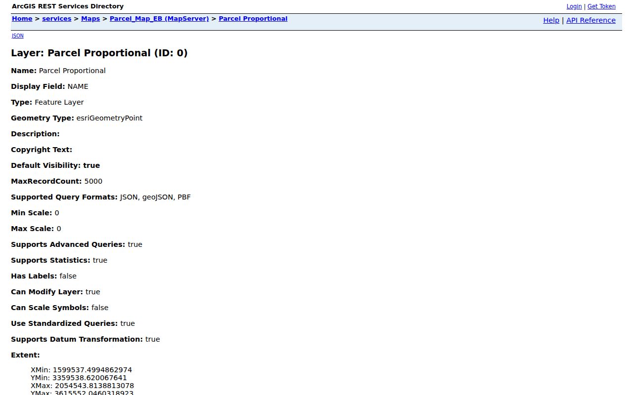
Visually adjacent polygons can be useful context, but a map relationship is not a title conclusion. Select a parcel individually, compare its identifiers, and then confirm ownership with the Fiscal Office and Recording Division.
Note: Map attributes can guide a records search, but the recorded document controls a transfer claim.
Akron Street Deed Chain
Summit County’s Recording Division is the link between a parcel and its recorded history. Start with the current owner and legal description from the property or GIS record. In the newest deed, note the grantor, grantee, document number or book and page, recording date, instrument type, and legal description. Search the seller as a prior grantee and compare the legal description before repeating the process. The Division does not perform title searches for a requester, so the indexed names and descriptions must be checked step by step.
The Recording Division’s Recorded Documents overview explains the official deed and document access route for an Akron street record.
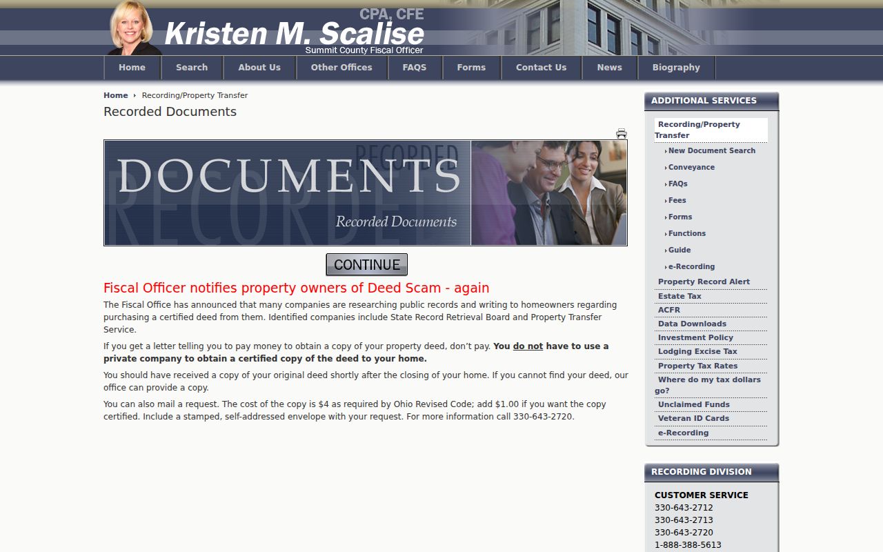
The 1988 web and 1840 to 1988 IBAV divide is a local records fact with practical consequences. When an older transfer does not appear in the browser search, continue in IBAV or at the fourth-floor public computers in the Fiscal Office Customer Service Area. The Division also accepts mail copy requests. Its general copy price is $2 per page and certification is $1, while its mailed deed-request instructions state $4 plus $1 if certified, with a stamped self-addressed envelope and a stated three to five working-day turnaround.
The Recording Division functions page is the source for the official copy and document-service context.
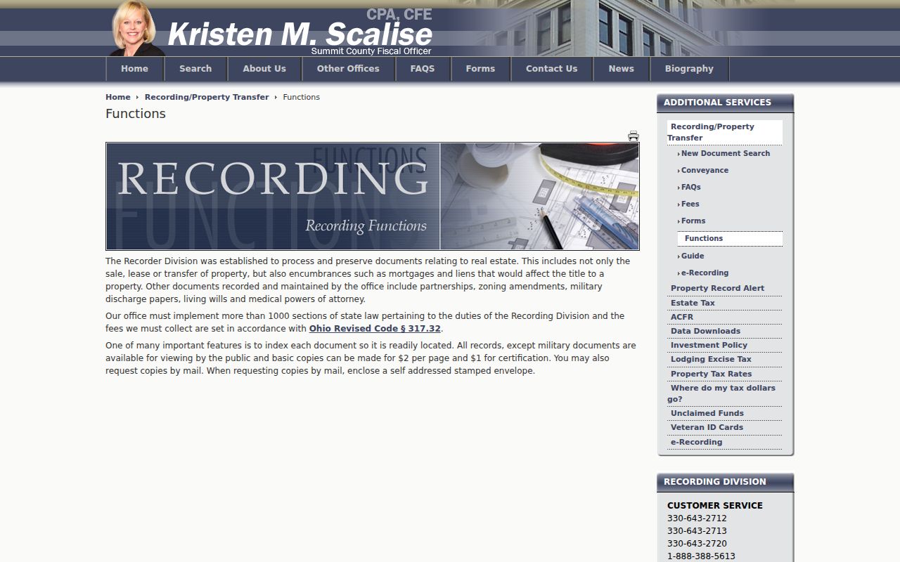
Akron Address Records by Street
Address-keyed sources answer different questions. The property search identifies a recorded owner and tax-year context. GIS supplies parcel location and map attributes. A recorded instrument supplies a transfer or encumbrance trail. Historical directories can show a dated address listing. Keeping those meanings separate is more useful than forcing them into one claim about a household.
| Address record | Custodian | What it can show | Access route |
|---|---|---|---|
| Property and tax record | Summit County Fiscal Office | Parcel, recorded owner, property address, ZIP, and tax-year context | Public Access search, updated daily |
| Parcel GIS | Summit County GIS | Parcel polygon, situs and address fields, account, lot, and physical map context | GIS Viewer or official parcel layer |
| Recorded instrument | Fiscal Office Recording Division | Transfer or encumbrance parties, document placement, and legal description | Web from 1988, IBAV for 1840 to 1988, counter or mail copy |
| Historic directory | Akron-Summit County Public Library | Historical street or householder listing | Digitized volumes, Special Collections, and criss-cross shelf |
| Plan or permit record | City of Akron | Project, owner, or contractor submission details where held | Account, counter, or focused records-request route |
| Police report | Akron Police Department | Address, date, or name-filtered incident evidence | Official report lookup, subject to availability |
A person found in an older street section may not appear in a deed, and a deed owner may differ from a historical address listing. Treat the time and source type as part of every result.
Akron Street Plans and Reports
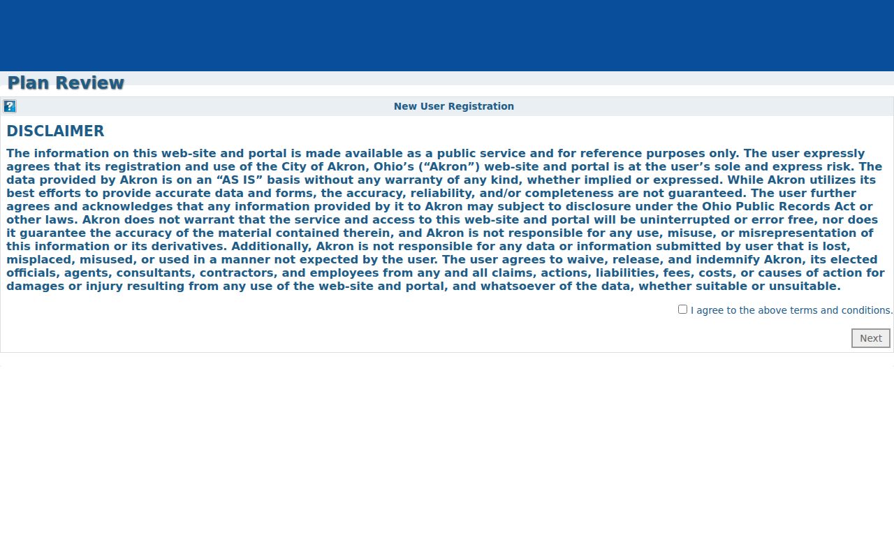
City address records are narrow event or project leads, not alternate household directories. The publicly found Akron Plan Review route accepts project and contractor submissions, but no anonymous public-result search was verified. A specific plan or permit question belongs with the City’s account, counter, or records-request procedure after the property and GIS records establish the exact address.
The Akron Plans and Permits portal shows the account-based entry route for address-related plan material.
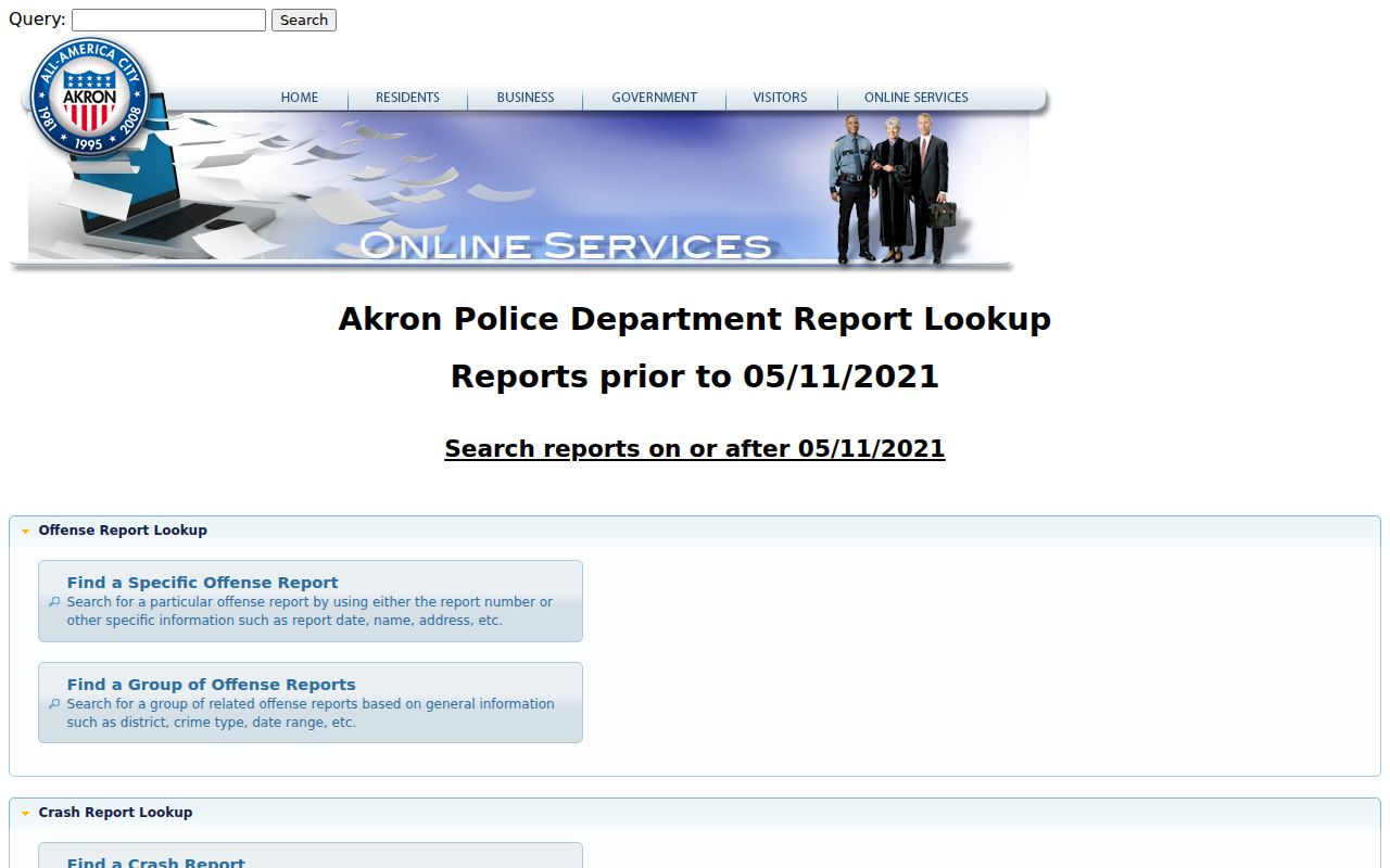
The Akron Police Department report interface has address, date, and name filters and can group reports by district or street. Reports can be sensitive or unavailable, and its directions omit apartment, city, and ZIP fields. Use a report as evidence of an event only, not evidence of current residence or property history.
The Akron Police Department report lookup is the official source for its address, date, and name-filtered report route.
Historic Akron Street Listings
When the question turns from a current parcel to a past address listing, use the Akron-Summit County Public Library Historic City Directories. The digitized Akron run covers identified editions from 1859 through 1969. Later directories and Haines Akron City and Suburban Criss-Cross Directories are held in Special Collections, although the library does not publish an exact Haines year run. Telephone directories are also available from 1914 onward as a later cross-check.
A criss-cross directory is arranged from an address toward a listed person or householder, while an alphabetical directory starts with a name. For a historic street, read the relevant street section in address order, then test the name in the adjacent edition or criss-cross volume. The library cautions that street numbering often changed in the early twentieth century. Compare cross streets, lot or legal description, map evidence, and household names rather than assuming the number never changed. The Akron City Directory has the collection-level detail for those volumes.
Note: A dated directory entry supports a historical listing for that edition, not a statement about a present address.
Akron Street Record Terms
Several common record labels look similar but do different work. Preserve them exactly when copying notes from a search so that an address trail can be checked later.
- Parcel
- A tax and map unit tied to property records. Its account, GIS ID, or serial helps identify the same property across systems.
- Situs address
- The property’s physical location. It is different from an owner mailing address used for tax correspondence.
- Plat
- A recorded subdivision or lot map. A plat and legal description can remain useful when a street number changes.
- Criss-cross directory
- A historical volume arranged from street address to listed householder or occupant, rather than only from name to address.
The property portal, GIS layer, and deed image use these terms for different record functions. A legal description is especially valuable because it can carry the parcel connection through an address change.
Akron ZIP Checks by Street
The property search’s Zip field can narrow parcels, but a ZIP is a delivery route system rather than a city-limit polygon or property identity. Use a complete address in the USPS ZIP Code Lookup when the delivery ZIP matters. USPS accepts a street address, city, state, and optional apartment or ZIP input, and it warns that a result does not confirm that a person or company is at the address.
For an older address, the street section, Sanborn or other map, parcel identifiers, and legal description may be steadier research keys than a current ZIP. The City GIS ZIP layer gives map context, while USPS verifies a particular delivery address. The ZIP field should never replace the parcel and deed sequence in an Akron street directory search.
Akron Street Directory Limits
Property and GIS interfaces do not identify every occupant at an address. They do not establish household composition, delivery or utility accounts, or DMV address data. Ohio’s individual voter lookup begins with a name and county, not an anonymous street roster. Its public results are also subject to statutory exclusions for confidential voters, protected public-service-worker addresses, and other protected fields.
Safe at Home can provide a substitute address and a confidential voter record for qualifying survivors. A missing result can reflect that protection, a records-era gap, an index choice, or an incorrect record key. It is not proof that a person is absent from Akron. When an identified existing City or County record is needed, use the custodian’s process under the Ohio Public Records Act, Ohio Revised Code §149.43.
Lawful use. Akron address records are for lawful, personal research and property questions. Do not use them to stalk, harass, intimidate, or harm anyone, and do not publish protected address information.